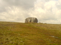
Oops, wrong photo earlier. This is the big rock i meant! Ta, Anthony!
Slaidburn to High Bentham
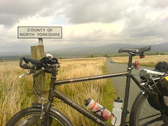
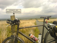
This is what the road looks like! No trees or buildings to hide under if the weather goes bad.
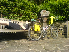
Since cycling is all about tearooms (good advice, Ian!) I immediately sought out the first possible venue and i’m now munching on the highly trad scone with jam and cream, and drinking tea. A reward for the big hill i just did. 🙂
Back to civilization
After 25 miles of barren moorland, i can see the first villages of north yorkshire. Ah, land of tea. 🙂 Glad that i got ok weather for that last stint. It was really exposed, with a huge climb up to 425m.
The Great Stone of Fourstones
The strangest thing: a massive house sized boulder in the middle of otherwise flat ground. A random rock left over by retreating glaciers says the information board.
Sun it Dunsop Bridge
Only for a few minutes, but there was definite sun! 🙂
Whole lot of nothing
After yesterday’s metropolis-avoiding route, today is pretty much due north. There doesn’t appear to be anything around except the tiniest of villages for the first 30 or so miles. Makes me glad i have a good toolkit with me! But it looks like a shorter day distance wise because i did a wee bit extra yesterday.
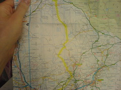
My road map doesn’t show contours, only peaks. But I can get an idea of where the slopes must be by looking at where the rivers run. They start out small and separate, and tend to join and grow and gain names as they head downhill.
More shower today, but a strong tail wind too. 🙂
Bashall Eaves
Half way! Woo! *does dance*
Gps says 498.5 miles done, and the afternoon was a pretty relaxed affair up until about 4pm. Now, i suspect that tectonic plates may be reading my blog because, having stated earlier that today looked flat, i discovered some hills of cornwallian proportions towards the end of the day. Not very high or long, but steep with lots of up and down (yes, cyclists really do have 57 different words for ‘hill’).
The route directions also got a bit terse after Mellor and suddenly i realised i was on the wrong road and needed to risk the A59 for 5 miles to get to Whalley. Well, with a nice smooth road surface, adrenaline from being annoyed by the extra miles late in the day, and some additional motivation provided by large lorries whizzing by, i blasted along at 25mph. Upon reaching Whalley, i quickly stocked up on snacks for the evening and looked skyward to see a huge band of dark clouds overhead. And so the last 5 miles out to the bnb in Bashall Eaves were also rather frenetic. But i’m here now!
If you check the Wikipedia entry for this place, it includes a phonebox in it’s top 5 ‘things in Bashall Eaves’ list. So, not much here. And unexpectedly the pub is shut. Apparently they do this on mondays! So delivery pizza it the only option tonight. Getting evening food is turning out to be a bit of a challenge on many days!
Goose foot lane
Goose foot lane goes down a steep hill. Prewarned, i was on the lookout for geese. Didn’t expect chickens to be in the middle of the road though! Nearly caught myself a snack!
